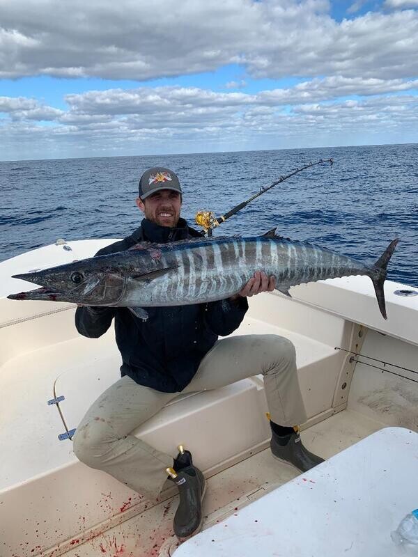
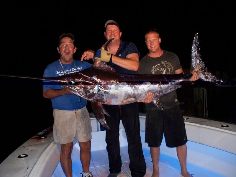
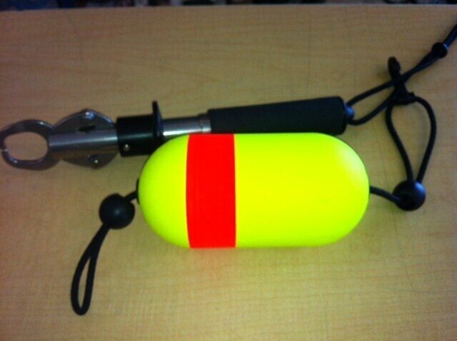
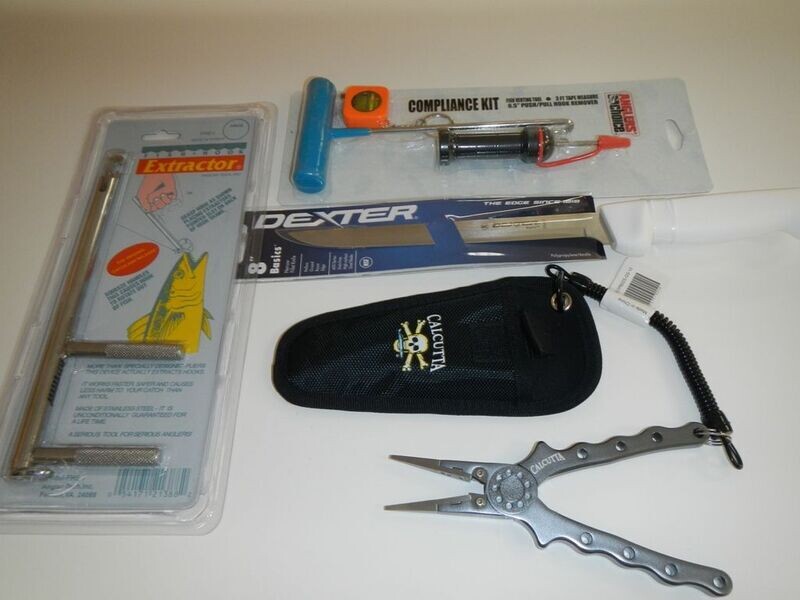
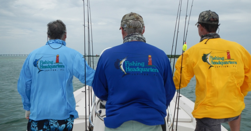
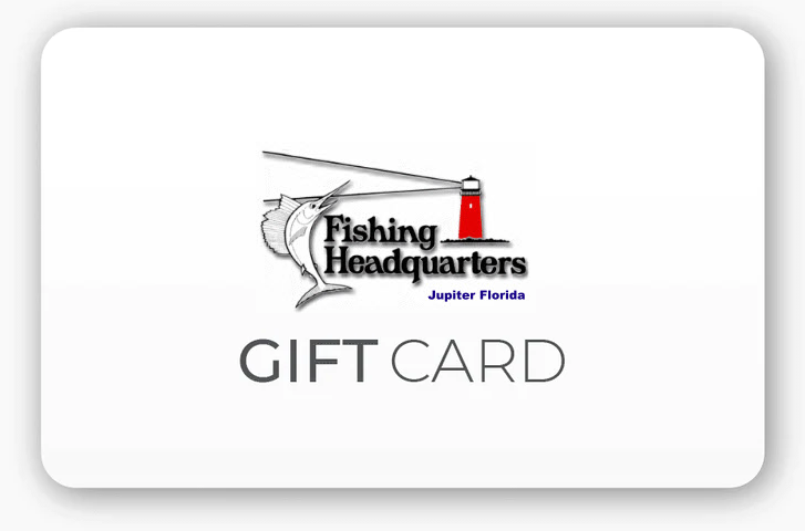
the logo for the fishing headquarters in jupiter florida with a marlin and a lighthouse .
0

FIND IT FAST!

the logo for the fishing headquarters in jupiter florida with a marlin and a lighthouse .

S.E. Florida Charts

$24.99
Number
Please choose
In stock
Product Details

COASTAL

#36 SEBASTIAN- FT. PIERCE- ST. LUCIE- JUPITER INLETS

#37 GPS Inshore Bottom Structure Chart from St. Lucie Inlet to Jupiter Inlet to Palm Beach Inlet (Lake Worth) to Boynton Inlet to Boca Inlet to Hillsboro Inlet

#35 SWORDFISH CHART - THE ORIGINAL SWORDFISH CHART

#48 NORTHERN SWORDFISH, DEEP DROP, TUNA CHART Ft Pierce Inlet to St Lucie Inlet to Jupiter Inlet to Palm Beach Inlet to Boynton Inet to Boca Raton Inlet to Hillsboro Inlet

#40 Upper Bahamas updated 5/08
New updated fishing grounds!!!! All GPS-West End, Walkers Cay, Abacos, Green Turtle, Treasure Cay, Marsh Harbor, Bimini, Cat Cay, Freeport, Lucaya, Grand Lucaya Waterway, Mantanilla Shoal, Boat Harbor, Chub Cay

#38 GPS UPPER and MIDDLE KEYS from Key Largo, Islamorada, Marathon, Big Pine, Cudjoe Key

#43 LOWER KEYS BIG PINE, CUDJOE, SUMMERLAND KEY, KEY WEST, MARQUESAS, REBECCA SHOAL

INSHORE

#45 INTRACOASTAL WATERWAY INDIAN RIVER
from Vero Beach at the 17th Street Bridge south to Ft Pierce, Huchinson Island, Jensen Beach, Stuart, Port Salerno, Hobe Sound, Jupiter Island, to Peck's Lake

#51 ST. LUCIE RIVER INCLUDING THE WINDING NORTH FORK TO FT.PIERCE AND THE SOUTH FORK TO THE OKEECHOBEE WATERWAY AND THE ST. LUCIE LOCK

#46 ICW PECK'S LAKE TO LAKE WORTH LAGOON and THE LOXAHATCHEE RIVER

#47 ICW NORTH PALM BEACH TO FT LAUDERDALE AND HOLLYWOOD


Save this product for later
Share this product with your friends
S.E. Florida Charts

You may also like

Share by: